

EDGE COMPUTING
Drones | Sensors | Robots
The system gathers data from the connected IoT devices.


AI
Computer vision | Data analytics | Audio analytics
Machine learning models are inferred on the edge to detect and classify objets of interest and risk situations. Business rules are then applied, and the corresponding alerts are raised.
USE CASES |
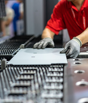
SMART MANUFACTURING |
Pixel-level segmentation to detect and classify anomalies
Detect flaws in real time to optimize production lines. Ensure safety measures are being followed.
SMART FACILITIES |
Pixel-level segmentation to detect and classify anomalies.
Detect incidents in real time to improve security. Add new sources of revenue with infotainment services. Optimize processes.


SMART ROADS |
Pixel-level segmentation to detect and classify anomalies
Detect incidentes in real time to optimize road safety. Optimize traffic and fees. Add new sources of revenue with infotainment services.
SMART CITIES |
Pixel-level segmentation to detect and classify incidents
Coordinate and optimize transport, security, and waste management systems.
